Aparna Chennapragada, VP of Product for AR/VR at Google, took to the stage at Google’s I/O developer conference today to tease some of the work the company is doing to integrate augmented reality into Google Maps.
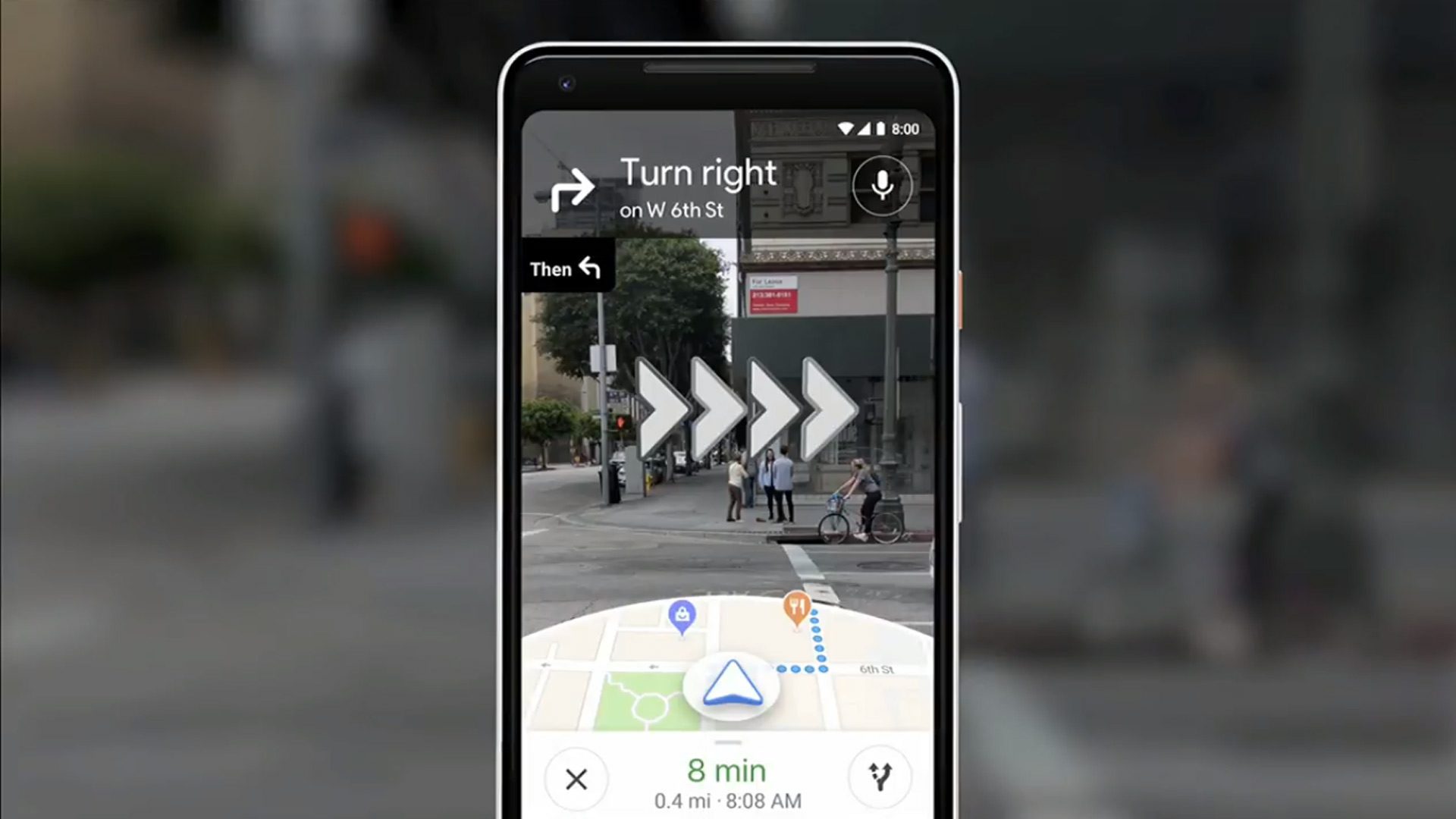
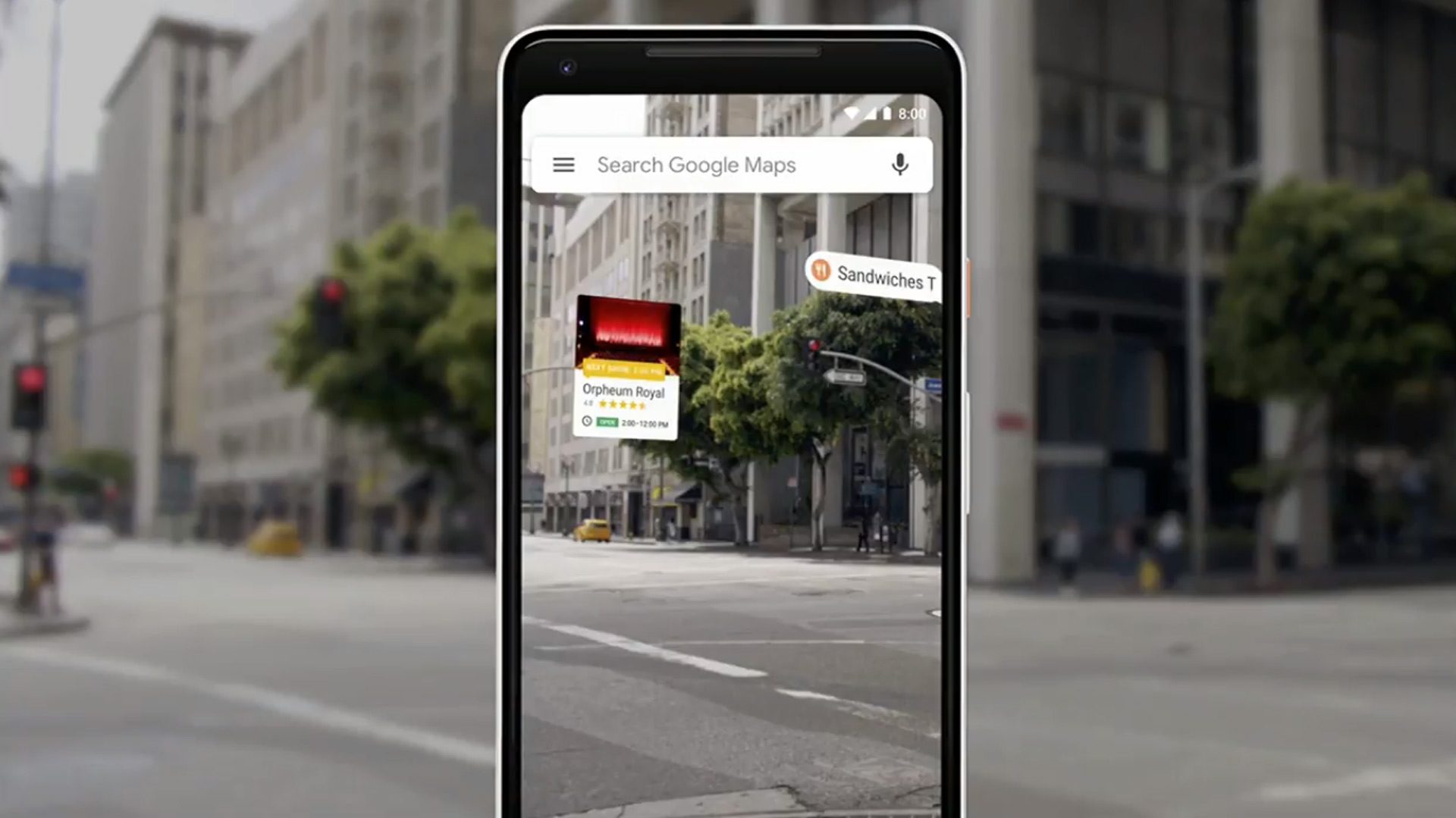
Chennapragada says the team has combined the smartphone’s camera, computer vision, Street View and Maps to “reimagine walking navigation,” essentially letting you view navigational cues by using some of the things already built into Google’s augmented reality-able Camera app thanks to ARCore.
Chennapragada presented a few possible use-cases including a simple walking navigation scenario replete with blinking navigational arrows superimposed into the physical world.

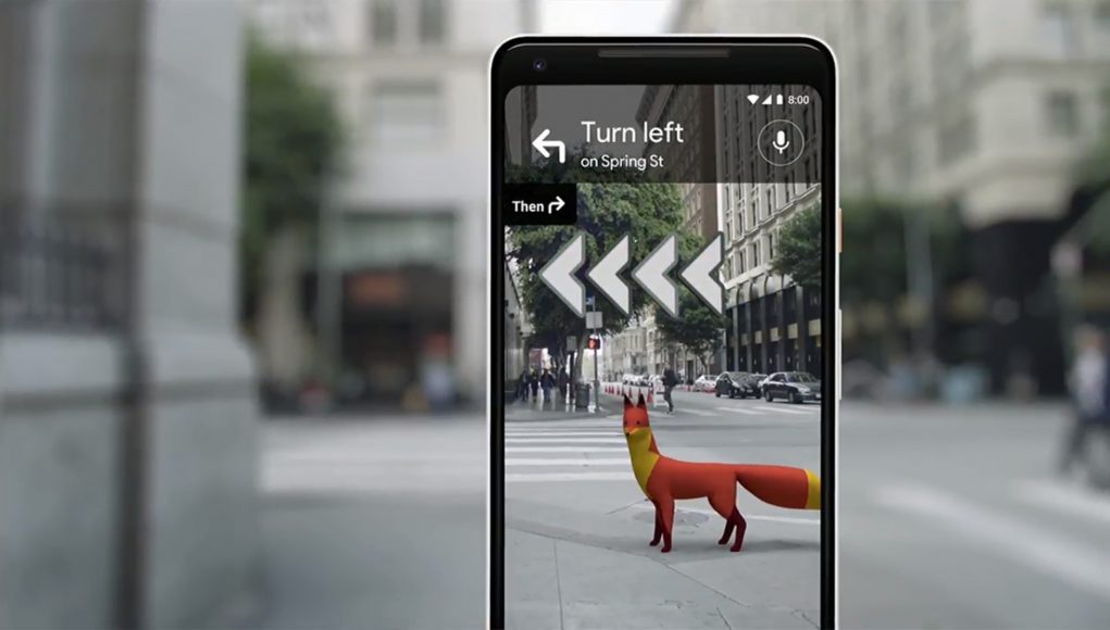
Teasing a bit more, Chennapragada mentioned other possible features including integration of landmark recognition, and even a little fox-buddy to help lead the way.

“Enabling these kinds of experiences though, GPS alone doesn’t cut it. So that’s why we’ve been working on VPS – visual positioning system, that can estimate precise positioning and orientation,” she said.
First revealed at last year’s I/O, VPS is said to use the visual features of physical world to position you within it more precisely. While not specifically mentioned during the presentation, it was previously touted for its ability to take you where GPS can’t, i.e. out of satellite range with the ability to give you turn-by-turn directions indoors.
While Google tiptoed around any specific announcements of when such a AR Maps feature could be coming, the demo was certainly a promising step in a decidedly augmented direction.


