Google today launched Tour Creator, a web-based tool that lets you easily build a VR ‘tour’ using imagery from Google Street View and even your own 360 photos. The company released the tool as a part of Teacher Appreciation Week, showcasing it in rural communities in across the US.
Designed to be a simple drag-and-drop interface, Tour Creator lets you string together your own path through the world using Google Maps as your basis, and adding in both self-captured 2D and 360 photos of your own to highlight your personal trips. Adding in what the company calls ‘Points of Interest’, you can also detail your tour with self-created text.
The company says they’re adding the ability to import tours into the Expeditions application later this year, a classroom-focused VR app that lets teachers take students in tandem through curated VR learning experiences.
Google went to a rural community in Lancaster County, Pennsylvania to debut Tour Creator. Charlie Reisinger, a school Technology Director in Pennsylvania, says “[t]he technology gets out of the way and enables students to focus on crafting fantastic visual stories.”
The Tour Creator site is now live and can be accessed here.
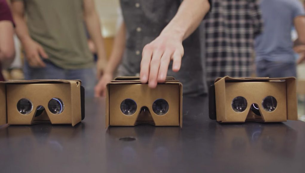
Once you’ve completed the process of building a tour, you can then publish to Google Poly, the company’s library of 3D content which was released late last year. From there, you can view the tour through either your browser or on a Poly-supported headset which includes Google Cardboard or Daydream.
While the Daydream platform hasn’t seen much love at Google I/O dev conference this week—a surprise to many after the company launched its first 6DOF VR headset Lenovo Mirage Solo only a few days prior—Cardboard is however still considered one of the most accessible of VR devices due to its relatively low cost, as it works on nearly any smartphone, iOS or Android. Being able to essentially create your own Expedition and eventually serve it up to a classroom full of kids, who likely already carry their own Cardboard-ready phones in their pockets, could open up a literal world of opportunities.


